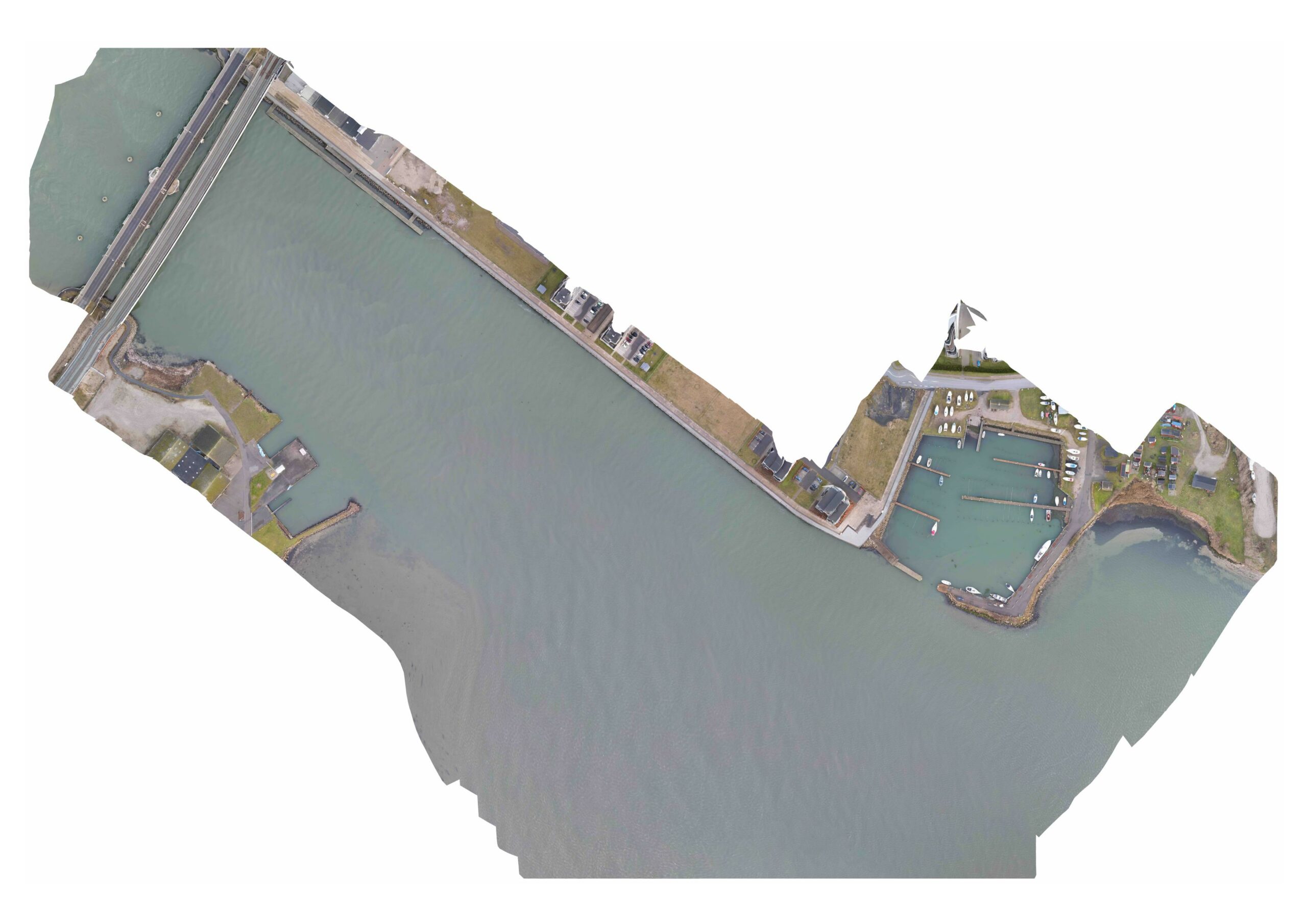
The newly started project funded by FFBI has already led to the succesful use of drones to perform an initial survey of floating eelgrass at both Vordingborg Sydhavn and at Farø. The result from Vordingborg Sydhavn can be seen here – due to it being late in the season the amount of floating eelgrass is very limited, but can be seen inside the port area in the right side of the image:
Due to the stormy weather we had during certain periods of February 2022 we observed the formation of so-called “seaweed-islands”. Floating eelgrass and/or macro-algae is torn from the area they grow, whereafter it forms floating mats in the top of the water column, slowly floating along the direction of the current.
These floating mats are easily detectable by the use of drone images. Drones are advantageous to use as they can be deployed easily and has a far better vantage point than if trying to spot the formation of “seaweed-islands” from the coastline.
In this first trial we used a mapping software to automatically fly the drone in a predefined area where images were taken with 70-80% overlay. We find that it is very important to have as high an overlay as possible for a better result when later stitching together an orthomosaic map of the surveyed area. It is very tricky to stitch together images taken over water as there are no reference points where the image processing software to perform the orthomosaic image can identify an overlay. Therefore, it is important to use a software that is capable of utilising GPS data reliably alongside the overlay recognition technique.
A next step in the monitoring and identification of the bio-resource in water is to be able to:
- Identify the species and quality (based on the color of the bio-resource)
- Identify the total area covered by the bio-resource, based on the Ground Sample Distance (how many cm a pixel is equal to in the image), which we can later use to calculate the actual volume of the floating bio-resource, once we know the thickness of the floating material, which again will be based on ground truthing
These data are important for companies involved in collecting bio-resource from the water, as it will make it far more efficient to collect bio-resources of a quality that is good enough for industrial purposes.